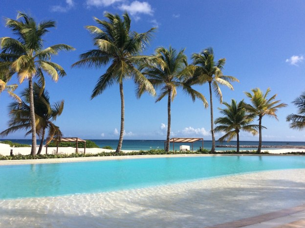
South coast of Puerto Rico
We have been on the move quite a bit over the past 10 days. Part of that has been driven by our desire to take advantage of favorable weather windows and part of it is that we would like to be in the British Virgin Islands by mid March so that we can meet friends and family that are planning on visiting while we are in the BVI.
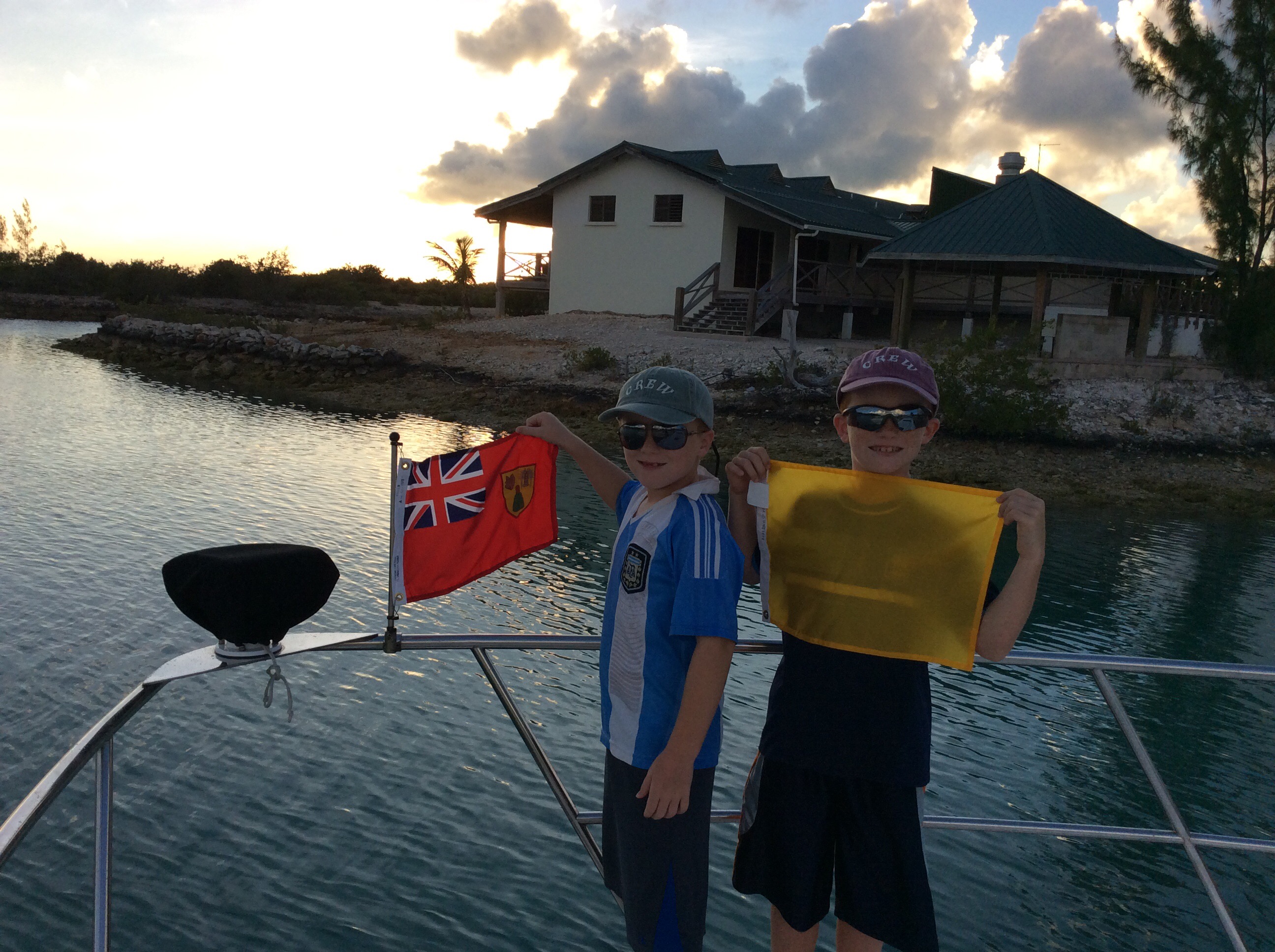
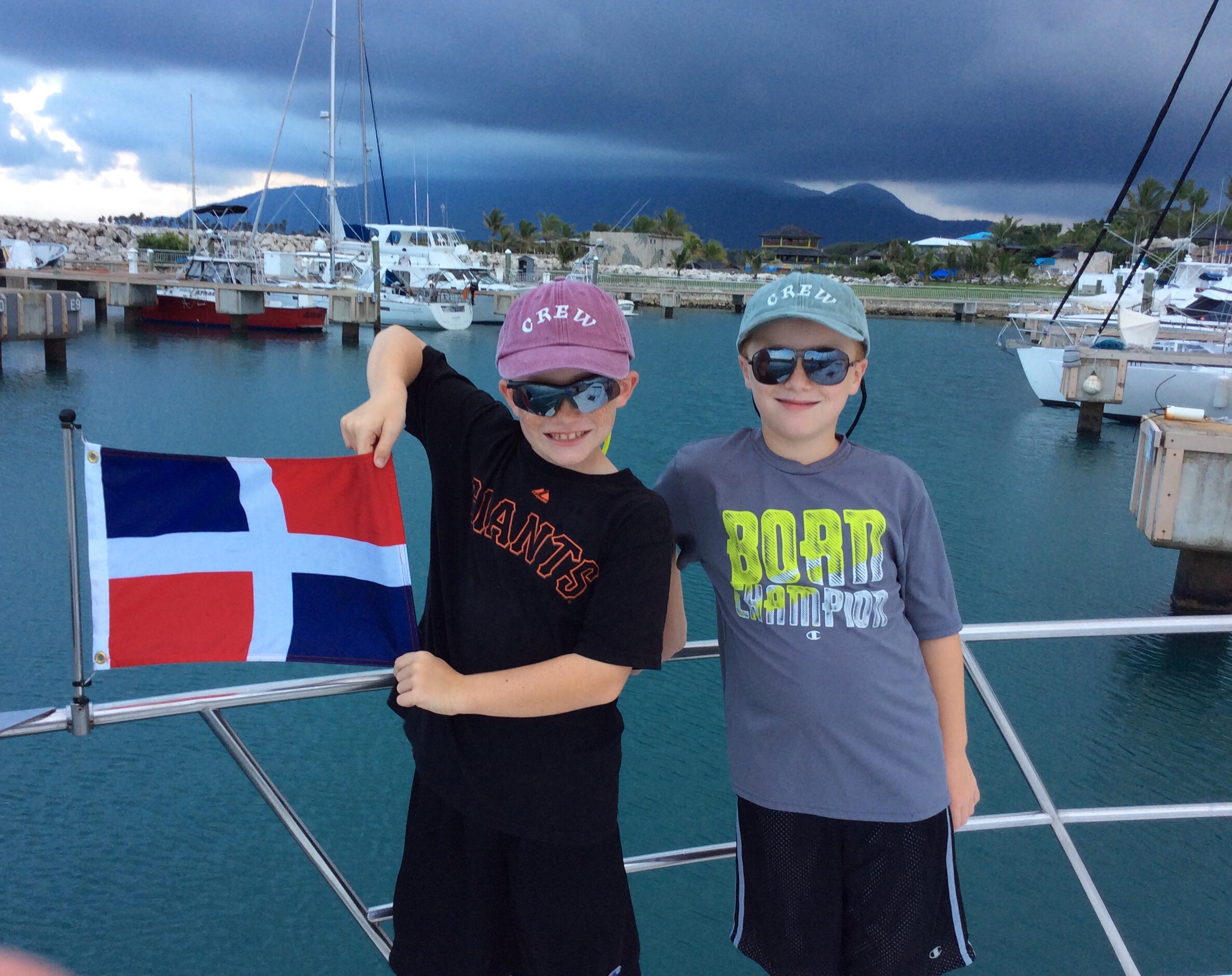
We had a wonderful time at the Cap Cana Marina in Punta Cana, Dominican Republic but at the risk of sounding like the boys, our newest favorite spot will likely be replaced at the top of the list by our next stop.

Cruising past Mona Island
The day we left Cap Cana was a big one for us as it was the day we would transit the infamous Mona Passage. The 80+ mile trip from Punta Cana, Dominican Republic to Puerto Real, Puerto Rico was at times challenging with large seas and little comfort to be found for the first few hours. Once we had moved sufficiently south and east of the Hour Glass shoals, the ride became much more civilized and we settled in for our transit. We were treated to natures wonder time and again, first by flying fish by the hundreds all around Pilot’s Discretion, then dolphin, and ulitmately by a massive hump back whale breaching less than a hundred yards off the Pilots’ Discretion starboard beam.
By the end of the passage, we had seen things in one day that many people will not see in a lifetime. We successfully navigated our boat across the Mona Passage, left one country for another and arrived feeling very much like we had grown both as a family and a functioning crew.
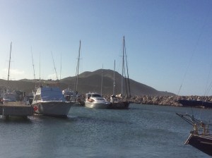
Our first port of call in Puerto Rico was a charming little fishing village by the name of Puerto Real. The marina is an excellent facility in a well protected harbor. The town has a very quaint, small town feel with excellent re-provisioning stores nearby. The weekend we arrived was the Marina Pescadería Sailing Rally and the associated festivities at the marina were an added enjoyable bonus for all. Everyone we met were very helpful and understanding of our B+ attempts to communicate in Spanish.
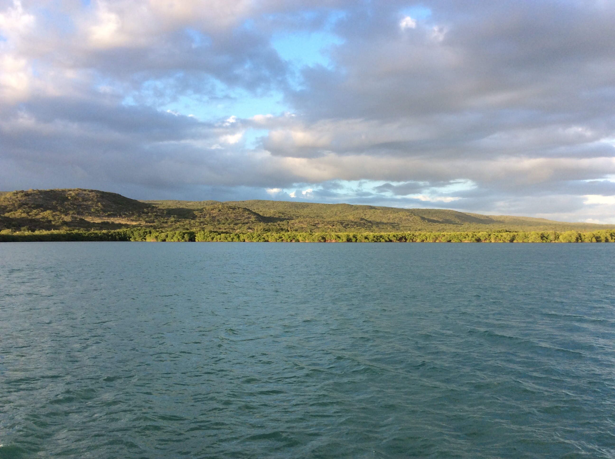
Anchored off Cayos de Cana Gorda (a.k.a. Gilligan’s Island), Puerto Rico
After enjoying a couple of days in Puerto Real, we moved south and east around Cabo Rojo to Cayos de Cana Gorda, also know by the locals as Gilligans Island (a not so subltle reference to the islands resemblence to the island in the Bob Denver comedy sitcom of the same name). We anchored off the island and spent a quiet evening in company with three sailboats.
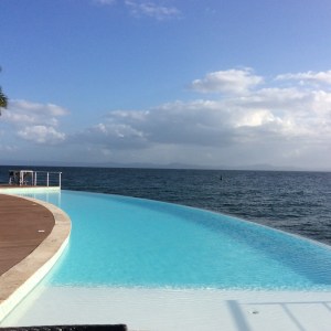
At sunrise we were underway again, this time headed for Salinas, Puerto Rico. Salinas is another one of those spots the cruisers love. There were probably 50 boats in the harbor when we arrived.

Wind farm, Salinas, Puerto Rico
It was rewarding to listen to the boys discussing the wind farms we saw along the coast excited that they had just recently read and learned about them in homeschool.
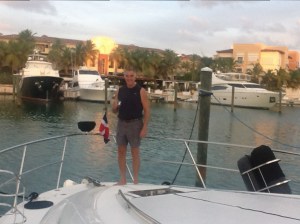
We would have liked to stay and explore a bit but we are feeling the need to keep the odometer rolling to be in position for our soon to arrive guests. Hence, another sunrise and another day underway finds us now tucked into the marina at Palmas del Mar, on the east coast of Puerto Rico, just south of Fajardo.


It is here that we celebrated another birthday aboard the Pilot’s Discretion when Patton turned 13!

Patton’s 13th birthday
The next leg of our journey will take us to the Spanish Virgin Islands. It really does at times feel like this must be a dream. We have been blessed to have an opportunity to experience this trip. Stay tuned, we love sharing our journey with all of you.