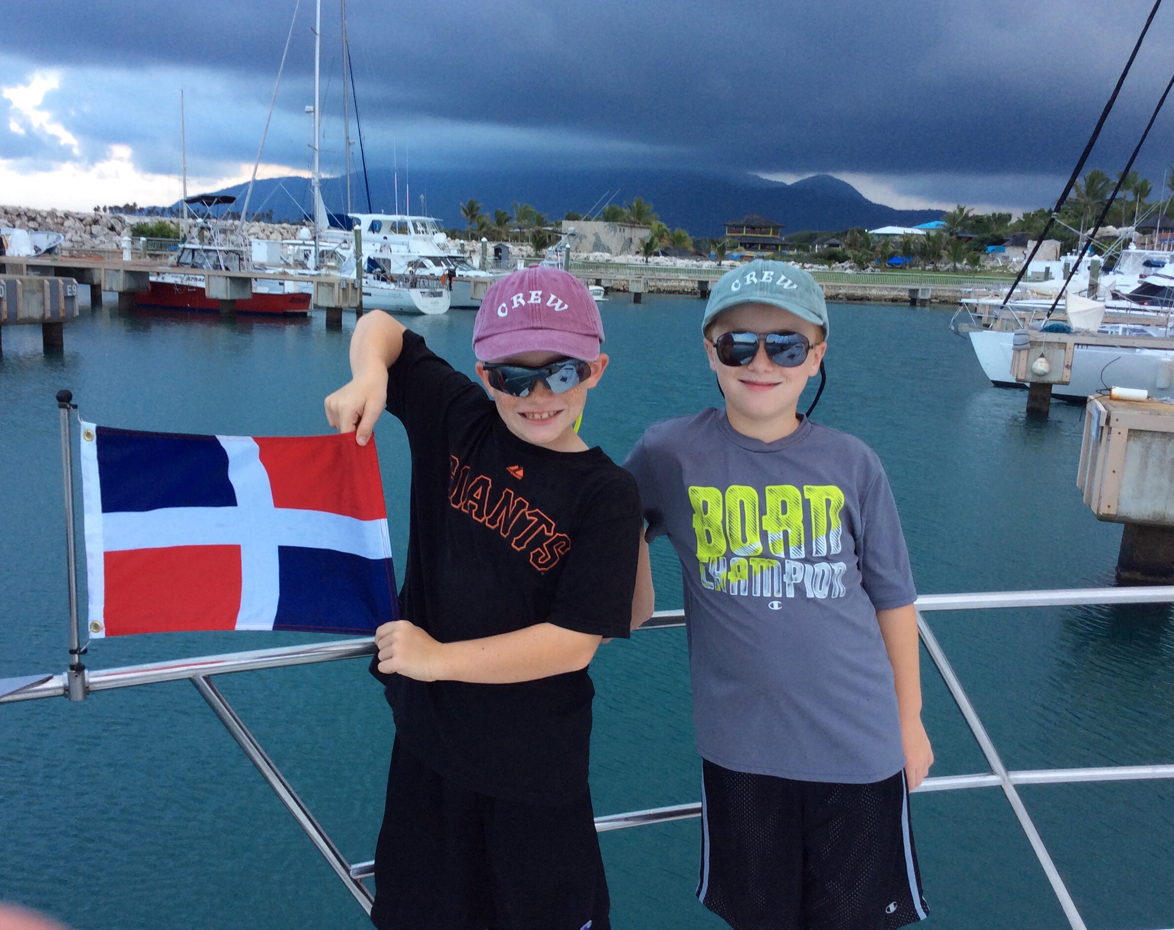
 Sunrise departure, Ocean World Marina, Puerto Plata, Dominican Republic
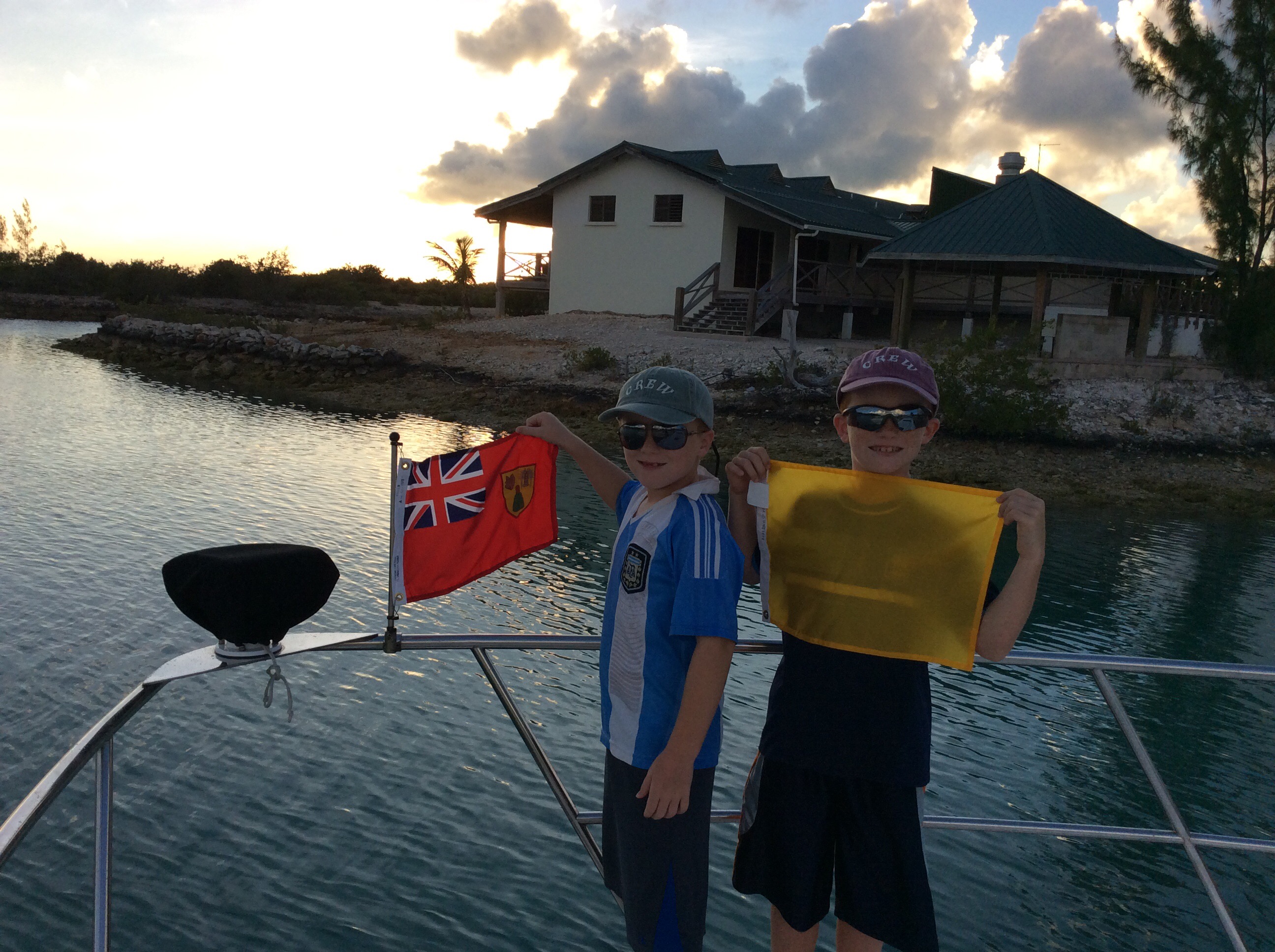
BIG SAND CAY (May 2018)
Leaving the Dominican Republic (DR) astern, after a glorious sunrise departure, our first stop in Turks & Caicos was at Big Sand Cay, a small uninhabited Cay approximately 80 nautical miles northwest of the Dominican Republic. As we approached Big Sand Cay, we only saw a few other boats at anchor, so we had visions of a restful evening, virtually alone, on this idyllic cay, beautifully set off by itself in the Atlantic Ocean.
We tucked into the bay with only a small handful of other boats, just as the wind started to really pick up. With the winds howling around 20 knots, we watched a fellow cruiser scale his mast because he was unable to furl his Genoa and drop anchor.

Big Sand Cay, Turks & Caicos
Shortly after the sailor secured his catamaran, we sat back and enjoyed the quiet solitude of the anchorage.

Big Sand Cay, Turks & Caicos
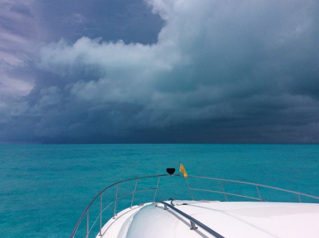
Later, the fun really kicked in. I guess we read the wrong travel brochure because after we set our anchor, an entire flotilla of sailboats, of all shapes and sizes, descended upon our tranquil overnight stop. Big Sand Cay was now the overnight destination of choice for over 25 cruising boats. Just to ensure that everyone was properly entertained, Mother Nature put on a thunderstorm and lightning show complete with winds gusting to 42 knots. We had put out 10 to 1 scope on our ground tackle in anticipation of just such an event, so we were secure and staying firmly in place. The same could not be said for many of our neighboring boats, and, as a result, the radios were alive with stressful conversations as boats dragged their anchors all around us. Thankfully, the storms died down shortly after 1 a.m., so we did still manage to get some rest before our sunrise departure west to Providenciales, Turks and Caicos.

Sunrise departure, Big Sand Cay, Turks & Caicos
PROVIDENCIALES, TURKS & CAICOS (May 2018)
As we approached Providenciales, Turks & Caicos, the skies once again darkened and the winds picked up considerably. The channel to our next port of call, South Side Marina, is narrow, with shallow depths and little room for maneuverability on a good day. We rode out the storm just outside of the channel, allowing it to simmer down before entering.

Approaching Providenciales Turks & Caicos

Approaching Providenciales Turks & Caicos
When we finally entered the channel, we had to navigate around a sailboat, run hard aground, nearly in the middle of the channel.

This sailboat ran aground in the channel approach to South Side Marina, Providenciales Turks & Caicos
With precision maneuvers, we passed her starboard side and cleared in to Bob Pratt’s South Side Marina. (Note: the sailboat sat in the channel until high tide came in and then floated herself free.)
We stopped at South Side Marina on our journey south in 2015 [See Turks & Caicos (2015)]. The boys had, obviously, grown quite a bit since then!
")
")
Bob’s place, upstairs, was as beautiful as we had remembered, complete with bocce ball, and Bob’s sweet new dog “Maddie.”

Bob Pratt’s place at South Side Marina, Providenciales Turks & Caicos

R&R bocce ball at South Side Marina, Providenciales Turks & Caicos

South Side Marina Harbor Master’s dog Maddie resting at South Side Marina, Providenciales Turks & Caicos
The views, at and around, the marina are nothing short of breath-taking.

Providenciales, Turks & Caicos

Providenciales, Turks & Caicos
The marina is only a few miles away from the airport, which makes it a good place to pick up or drop off guests. Marina owner, Bob Pratt, provides courtesy transportation to nearby grocery store(s) for provisioning and makes everyone feel at home.
When it came time to continue our northbound journey, we fueled up and headed back out the channel.

Ronan assisting with the fueling at South Side Marina, Providenciales Turks & Caicos

Randy fueling up at South Side Marina, Providenciales Turks & Caicos

South Side Marina, looking towards the channel, Providenciales Turks & Caicos
We set our course northwest towards our next stop, the remote Mayaguana and Acklins Islands in the southern Bahamas . . .