2017 Hurricane Summary
Yesterday was the last day of the 2017 hurricane season, and so it is that we now contemplate our fourth (4th) season cruising plans! We have previously communicated with you about the devastation that this past hurricane season has left behind throughout the northeastern Caribbean. The damage has been vast, but the strong will of the people on the affected islands has proven impossible to suppress. Things are not yet back to normal but the strides that have been taken by the international community and the locals has been incredible.
PROGRESS OF RECOVERY
We have been monitoring the progress of the recovery efforts on a daily basis. In addition to our general concern for the well being of our Caribbean friends and their economies, we also have been paying close attention to the recovery of the yachting infrastructure. Obviously, we need circumstances that will allow us to adequately provision with food and fuel in a safe environment for the Pilots’ Discretion and her crew if we are to turn her north towards the United States this cruising season. Additional concerns include the ability to leave the Pilots’ Discretion in a safe and suitable environment should we need to fly back home for any reason, which necessarily requires access to operational airports with flights. Access to competent medical care, and dockside electricity and water are also logistical concerns as we plot our course north. We have found the following sites helpful in monitoring Caribbean wide recovery efforts:
- Sailors Helping Sailors – providing up-to-date information on port status and opportunities to volunteer in rebuilding efforts across the Caribbean;
- Sailors Unite – Caribbean Comeback – A guide to what is open and available in British Virgin Islands, Puerto Rico and St. Marteen/St. Martin, including airports, transportation, restaurants, hotels, provisioning, marketing and shops;
- ExplorerChartbooks – includes Turks and Caicos Marinas Report;
- Noonsite – provides information by anchorage or by island, so sailors can plan their cruising in the Caribbean with an eye to appropriate behavior and precautions wherever they decide to go; and
- Caribbean Safety and Security Net: “Know before you go” safety and security updates throughout the Caribbean.
We will continue to update the above list and our blog as we obtain additional information when we proceed north. If anyone viewing this has additional resources that will keep mariners updated, please send them to us in the comments section below and we will add them to this list or include in future updates.
Our current evaluation is that the islands require a little more time to deal with the lingering devastation but they are getting closer everyday. We do believe that they will be in a strong position to welcome cruisers this coming cruising season. In fact, this may represent an opportunity to see what a jewel the Caribbean islands can be when not overrun with crowds. We are confident that our Caribbean friends will have the welcome mat out for all cruisers that choose to make this season the one that they cast off and set a course for the trip of their dreams.
PREPARATIONS

Rodney Bay Marina, St. Lucia – Aerial
As for the preparations to get underway for the Pilots’ Discretion, we are reporting good progress. There are a significant number of details that have to be addressed prior to getting underway. The good news for us is that we are currently located at the IGY Rodney Bay Marina in St. Lucia where we have all of the services we require to ready our vessel. We would be remiss if we did not publicly thank Mr. Sean Devaux, General Manager of the Rodney Bay Marina for all of the assistance he has provided us as we prepare to head north. Our initial commitment to him was that we would be staying at his facility through September 2017. As the hurricane season devastation to our north became clear, it was initially impossible to determine when it would be prudent to depart. Sean has been great, he has told us that we can stay as long as necessary without a long term commitment. Additionally, he has worked hard to provide us will real time status updates of all of the marina facilities along our route north, even if those facilities are not a part of his organization (Rodney Bay Marina is part of the international marina group known as IGY). We are currently coordinating our annual engine and systems maintenance and that should be complete shortly.
EPIRB (Emergency Position Indicating Radio Beacon) Maintenance

Solutions One Maritme, L.L.C., Tampa, FL
One component of our systems preparation is ensuring that our life vests, life raft and all of our emergency signaling systems are current and fully functional. This is normally a routine inspection but this year we got quite a surprise. We have an ACR EPIRB (emergency position indicating radio beacon – a device that includes a GPS to determine our exact location and a satellite communication system to notify rescue personnel in the event we need assistance). We bought the unit new just before we left on our trip. Each time we get underway, we run the unit through a self test program to ensure it is fully operational. It has always past each of those tests without fail. On our most recent trip back to Florida we elected to have the unit recertified due to calendar age.

EPIRB

Solutions One Maritme, L.L.C., Tampa, FL
After researching facilities that are certified to service maritime rescue equipment, we elected to have the folks at Solution One Maritime, LLC in Tampa look over our unit. Expecting nothing much more than an administrative paperwork exercise, we were left very surprised when we got a call from Yusri Jadallah, the Managing Director for Solution One. He explained to me that he had found a very small leak in the case that protects the electronics and that he was certain that had the unit been deployed in an actual emergency at sea, the electronics would have likely failed due to exposure to salt water. He went further to explain that ACR would repair the unit under warranty but their estimated turn time would likely be 4-6 weeks. Yusri told me that he understood that the long turn time would create scheduling problems for our crew and as a result he offered us a brand new unit to utilize for as long as it takes to get our own unit back. As far as we are concerned, the folks at Solution One have gone way above and beyond to ensure that our family is safe and our trip uninterrupted. We have utilized other sources in the past for our emergency equipment needs but from now on, Solution One is our vendor of choice for our life raft, life vest and emergency electronics needs.
As we look forward to our fourth cruising season, we also reflect upon all that we have to be thankful for this past year, including time spent with family and friends, good health and ongoing adventures. We would be remiss if we didn’t mention the spectacular time we had spending Thanksgiving Day last week in Marigot Bay with dear friends, both old and new.
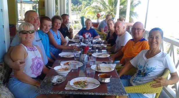
Post-Thanksgiving Day Lunch Bunch


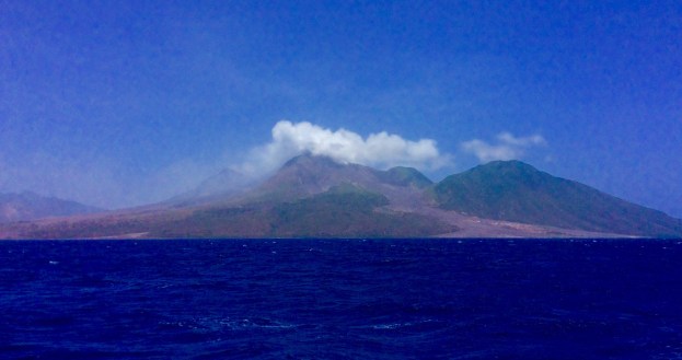

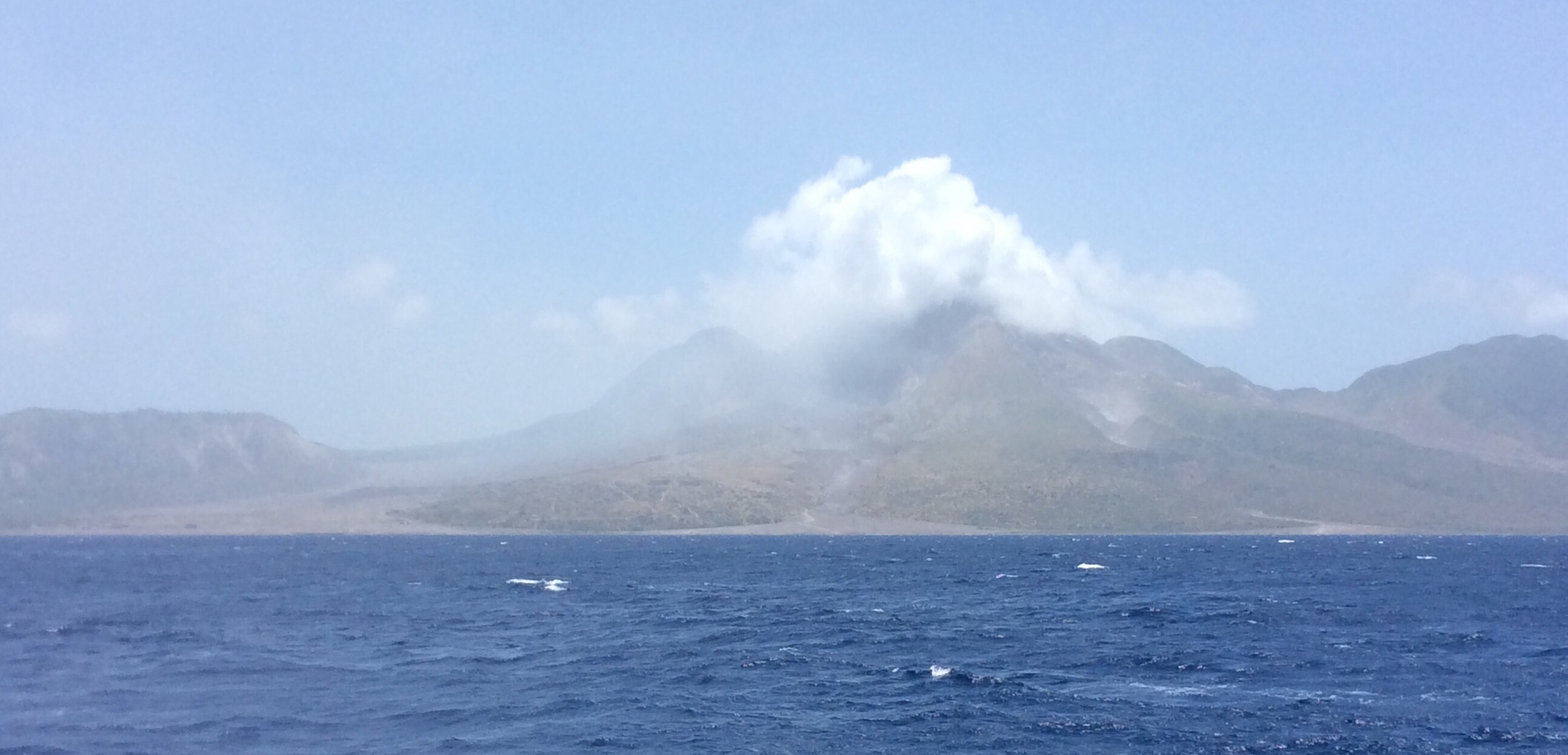
 dormant volcano")