Our first leg south of Statia took us along the west coast of St.Kitts, providing us with spectacular views of yet another island created by massive, now dormant volcanoes. We elected to spend the night anchored in Majors Bay on the southwest tip of St. Kitts. We had the entire bay to ourselves where we enjoyed spectacular views across the Narrows (the passage that separates St. Kitts from her southern neighbor, Nevis).

 dormant volcano")
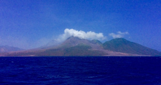
At first light we were underway for what would be one of our longer passages in the past several months (85 nautical miles). We ran southeast, passing just to the west of Montserrat. Montserrat is an island with a still active volcano that has devastated this small island nation. From the late 1990’s until present day the volcano on Montserrat has repeatedly errupted, completely destroying the capital city of Plymouth.
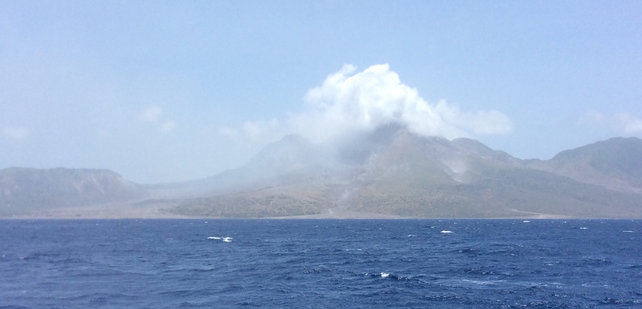
Montserrat ACTIVE volcano, Plymouth rooftops on the bottom left
As a result, the island population has been reduced by over 50% as the people have found it increasingly difficult to live quite literally in the shadow of an active volcano. The day that we passed offshore, the volcano was in an active state which resulted in a marine exclusion zone being established. The net result for us was we had to remain at least 2 miles offshore as we passed by. That said, our view was still unbelievable. We could see the rooftops of the now abandoned town of Plymouth sticking up out of the lava and ash flows that buried the entire town. The volcano was spewing ash and smoke and when we went outside to take a few photos, we came back in covered in ash. It was a first hand look at the awesome and sometimes devastating power of mother nature.

Montserrat ACTIVE volcano ash & lava flow
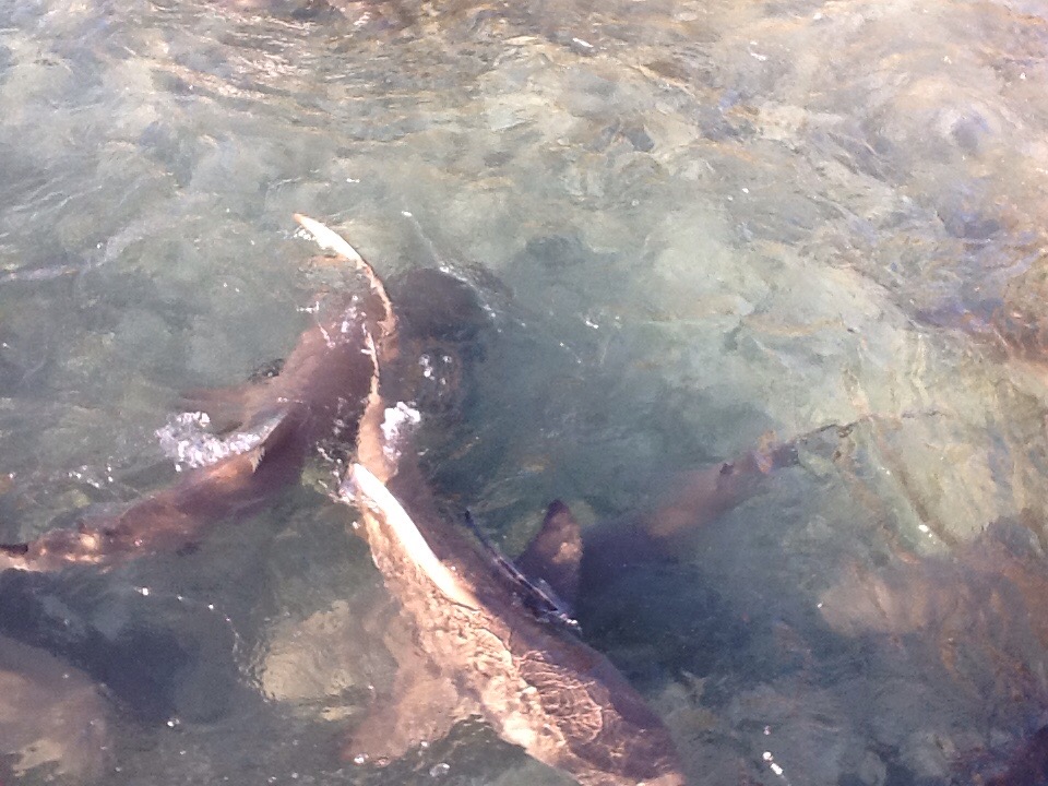
As we put Montserrat astern we still had about 40 miles of open ocean to run to get to our next stop, Deshaies, Guadeloupe. The seas were a managable 4-5 ft as we continued on our journey down island. Since we are approaching the beginning of hurricane season, the routes that we are choosing are heavily travelled by fellow cruisers, all making their way towards Grenada. On this day, we passed no fewer than 10 sailboats heading the same way as us. Once in a while we will see a fellow power boater, usually a trawler but the vast majority of boats this far south are sailboats.

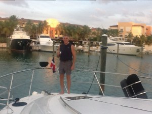
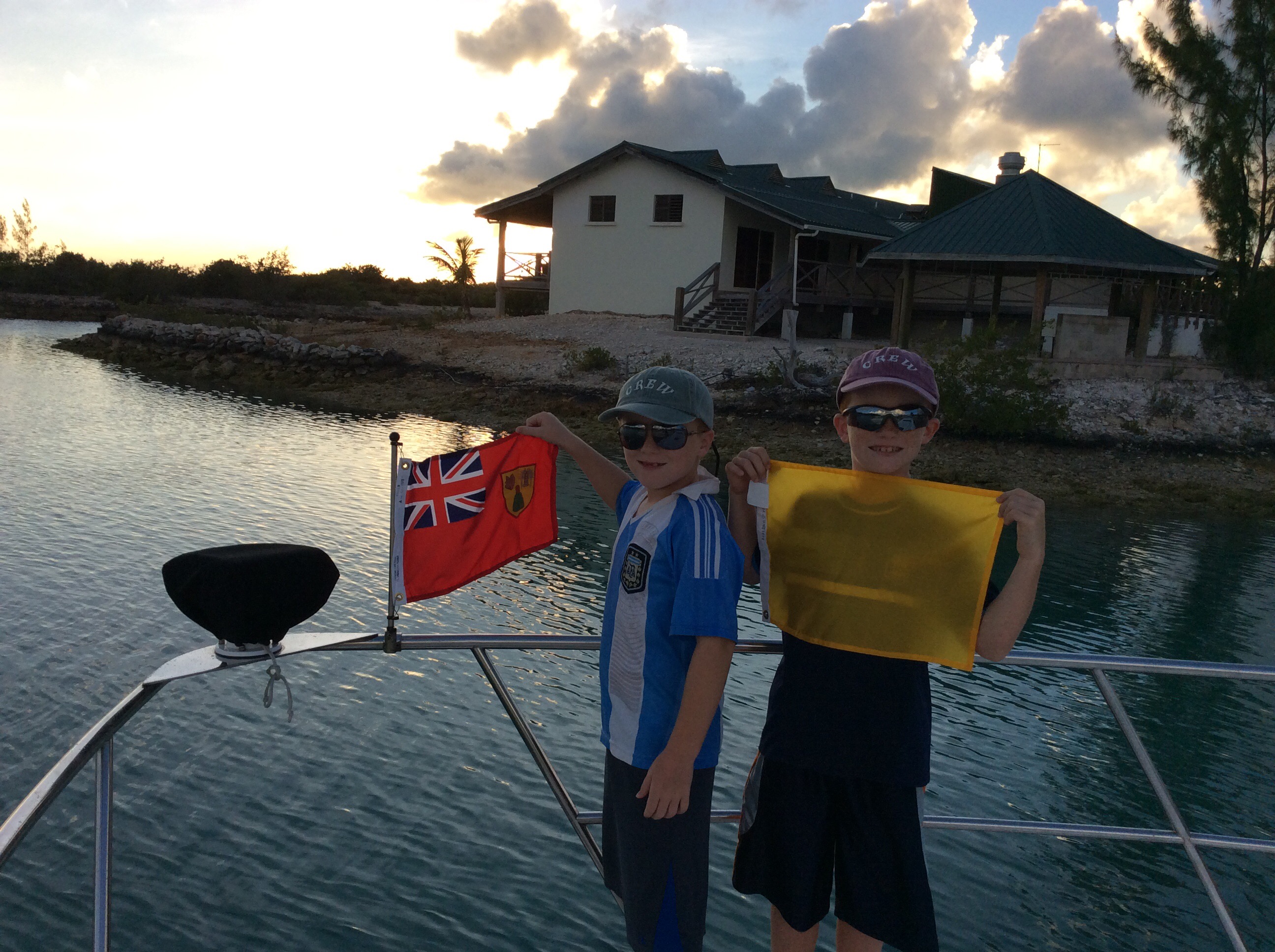
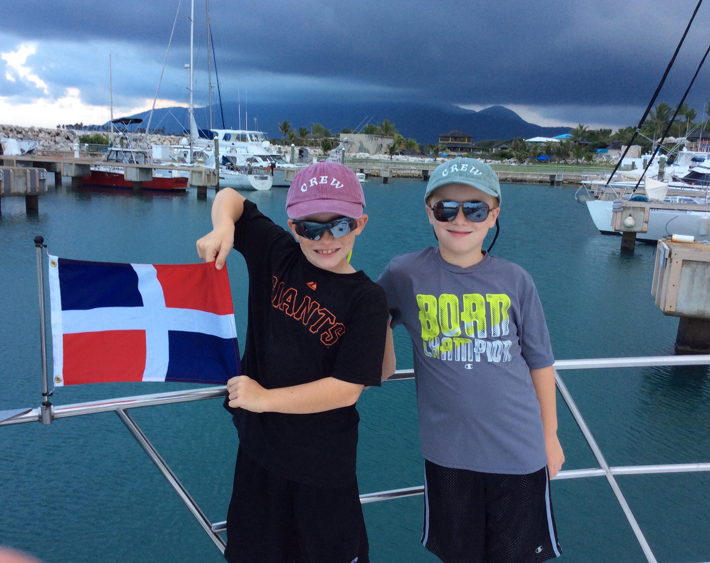
Ronan hoisting the courtesy flag, Deshaies, Guadeloupe
After a long day (about 10 hrs underway) we arrived in Deshaies, Guadeloupe. What a quaint, pleasant surprise we have found this French fishing village to be. It has one of the most sheltered harbors that we have stayed in to date. The town itself has a very French small town feel to it. It is difficult to find anyone who speaks English and unfortunately, it seems that the two years of French that Theresa took in college have completely abandoned her so we have had to revert to sign language and the amused patience of the locals as we try to communicate our needs to them. There are many restaurants and open air markets lining the main street.

Deshaies, Guadeloupe
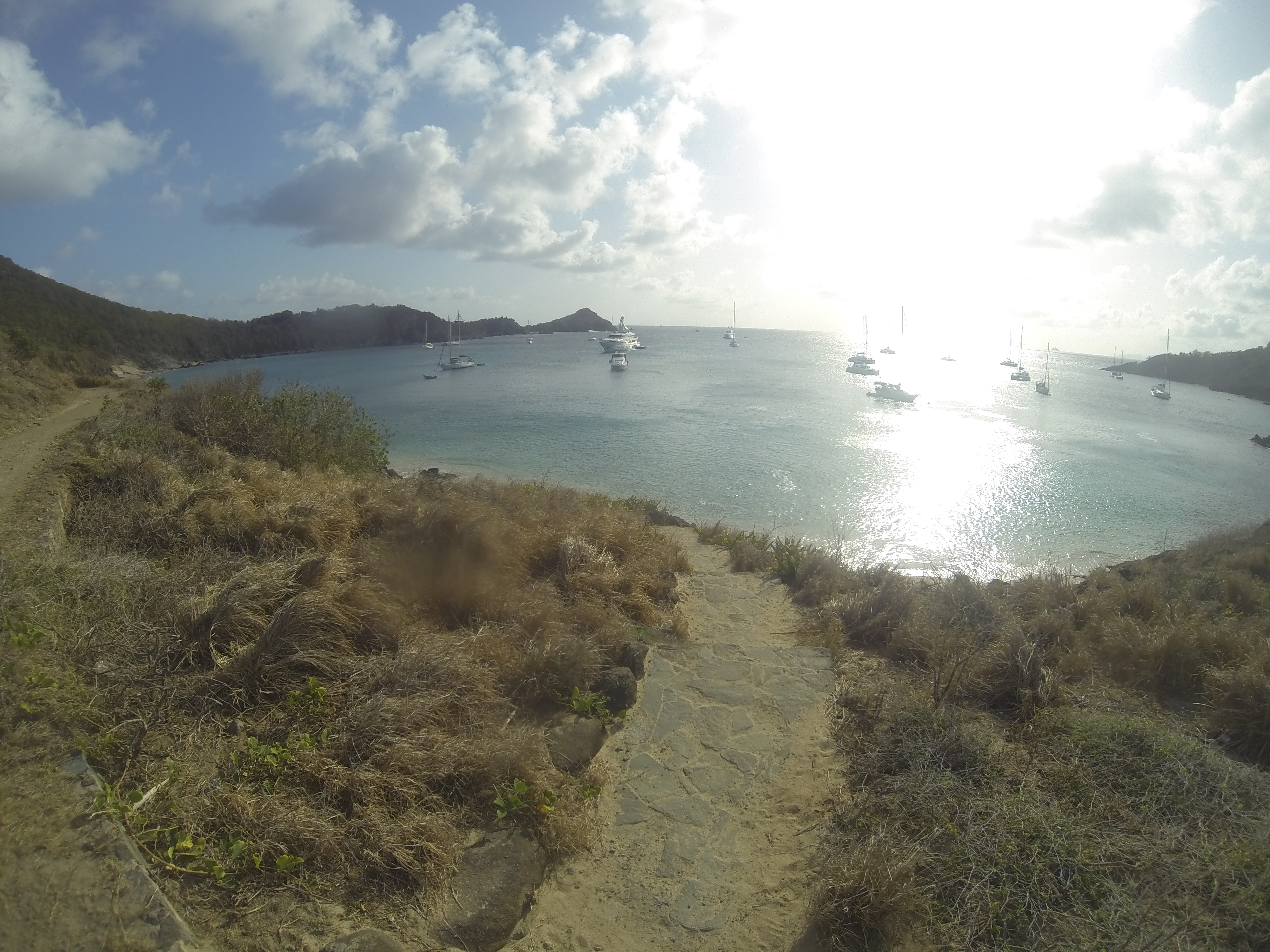
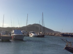
The harbor is full of cruising boats from many different countries (This morning, I counted 42 boats, mostly flying the French flag, a couple from Great Britain and Spain. We are the only American boat in the harbor). We have enjoyed Deshaies so much that we have elected to spend an extra day here before continuing our journey south. When we depart here we will make a short trip to the southern tip of Guadeloupe where we will refuel, then head south for our next island country, Martinique.