
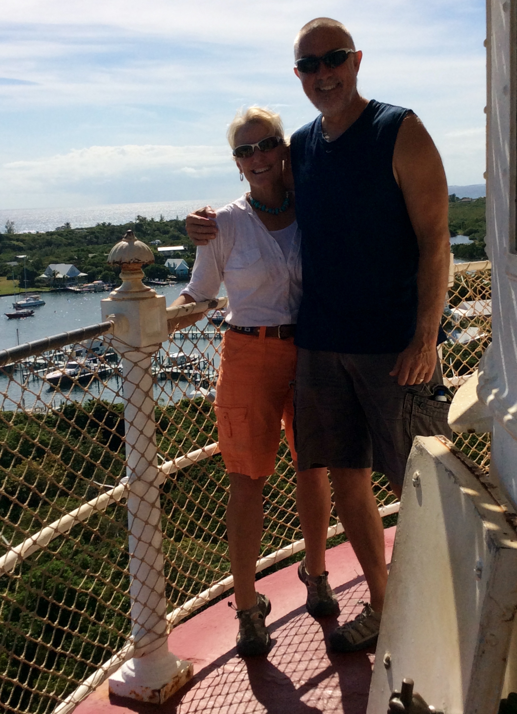
Theresa & Randy atop the Hope Town Light House
We are now two months into our grand adventure with one month in the Bahamas. The past several weeks we spent an amazing eighteen (18) consecutive days tied to various mooring balls in the southern Abacos. Prior to refitting the boat with a Spectra water-maker and increased battery charge capacity, we could not have stayed untied from the dock for so long. However, with these, and other additions, we had pleasant stays and extended safe harbor.
Yesterday we took advantage of a brief weather window and exited Little Harbor Cut, off Great Abaco Island, out into the open waters of the North Atlantic. The weather data we reviewed called for six to eight foot (6′-8′) seas with 15-20 knot winds out of the NE, all of which we encountered during our passage. Additionally, we had occasional ten foot (10′) waves splashing over our bow. This gave us, and our wiper blades, vigorous exercise and served as a reminder to respect the powerful energy of the sea.
Everyone on board had firm sea legs beneath them and handled the rough sea conditions well. While Patton did appear a little green at times, and had difficulty finding a spot to lay comfortably, he too mustered up strong sea legs for the journey (all four of them).

Latitude 25° 32.478″ N, Longitude 76° 45.427″ W
We transited 48 nm south in the North Atlantic. The boys got a practical life geography lesson when we crossed one degree further south towards the equator and the chart plotter position rolled over from 26o north to 25o north. The seas calmed when we rounded the point and entered the lee of Royal Island, although the winds were still producing white caps even there. This made for a sporty entry into the narrow channel as we glided into Spanish Wells mid-afternoon.
As I write this, today it is Thanksgiving Day in the USA. While Thanksgiving is not a holiday that is celebrated in the Bahamas, we intend to celebrate it in traditional style, on board with a turkey and all the fixings. After all, we have innumerable blessings to be grateful for, not the least of which are safe passages, good weather and amazing family and friends, including those new friends we have made along the way.

Happy Thanksgiving to the intrepid crew of the Pilot’s Discretion!
LikeLike
Thanks Scott and Happy Thanksgiving to you, Sherry and your entire family.
LikeLike
Hope your turkey day was as good as ours!!!
Dawn & Van Eyzerens (sp) were to have flown into Spanish Wells yesterday for the holiday.
LikeLike
It was great! Turkey aboard the Pilot’s Discretion; nothing better.
LikeLike
Sounds like you’re having a great time
we appreciate the updates.
Con.
LikeLike
You are my hero Cpt. Mowrey. I’ve stood where you stood at the Lighthouse at Hopetown. Fun stuff. I always wanted to fly the bahama chain in my plane, bucket list not obtained.
LikeLike
I have flown my Aerostar into most of the places we are travelling to in the Bahamas; lots of fun. You have the added bonus of having a glass of wine waiting for you on the back of the Pilot’s Discretion if you fly in. Come on down my friend, we would love to see you and Erin.
LikeLike
I would love to, unfortunately, sold my plane and haven’t yet gotten the urge to rent, but probably will after the first of the year. How long are you down there? We are headed to lake Tahoe for Christmas from 12/18 to 12/28. Perhaps next year we could have a ronneyview.
LikeLike
My Hero, be safe and avoid the pirates, Mate!
LikeLike
Randy, When can I buy the book?
LikeLike